


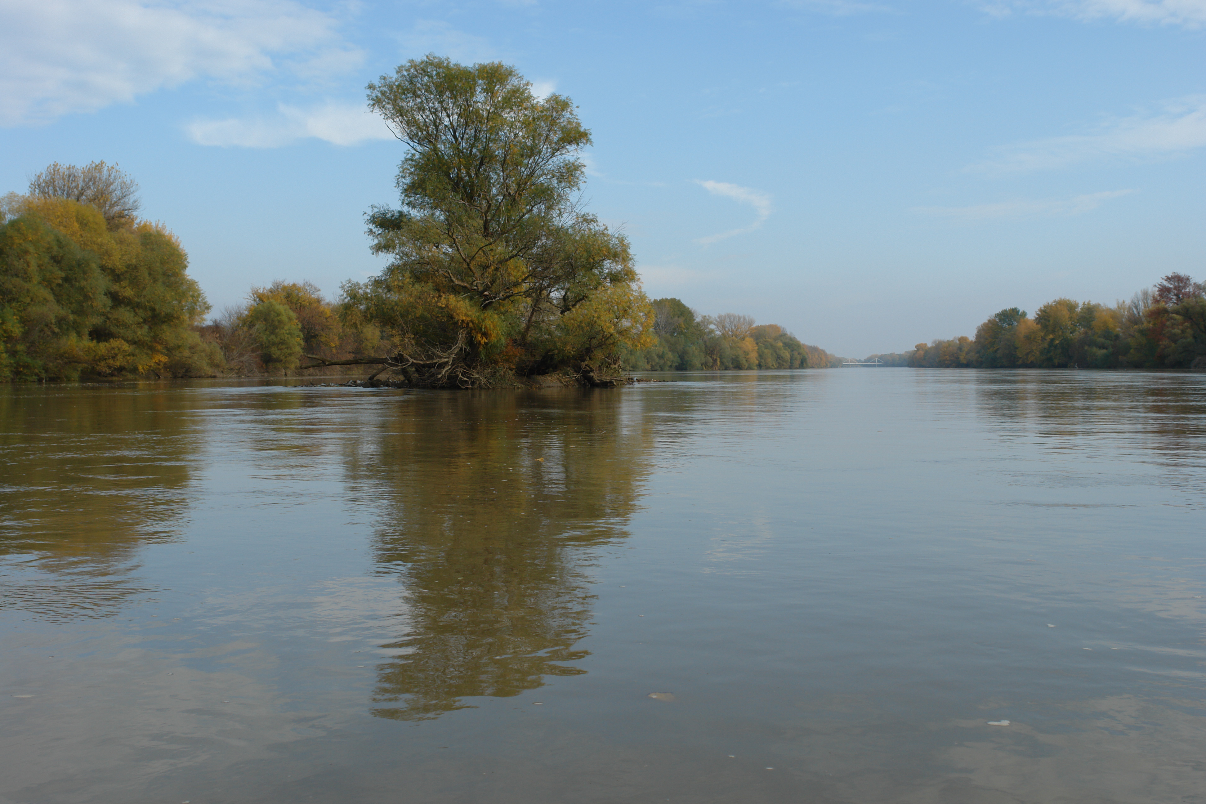


The river is 725 km long in the Gyergyó Mountains, near Marosfő, of which only 48 km lies in Hungary. Its water course is highly volatile, fluctuating between the lowest (-100 centimeters, 1983) and the highest (625 centimeters, 1975) so far the Makó water level. This is especially problematic if its floods coincide with those of the Tisza. Its water yield is also highly variable, for example in 1970 it was 30 m³ / s and 2500 m³ / s within one year. South of its mouth, in the water of the Tisza River, the water of the two rivers blends together spectacularly because of the difference in color and amount of sediment they carry. The wild floodplain forests, which are mostly natural, have valuable flora and fauna. The floodplain forests of the Hungarian section of the Mures belong to the Körös-Mures National Park, as well as the areas on the Romanian side of the river. The transportation of wood from Maros to Szeged, and especially the Transylvanian rock, which made Szeged one of the central salt stores of the country, is of historical importance.